
Tracing a Saratoga Springs Street
A street-by-street search starts with the site, then moves from a parcel to the records that describe it. Saratoga County's property tools can identify a parcel and an owner of record, but those fields do not establish a current household. A deed follows title, while a directory or census entry may point to an occupant in a particular year. Keeping the source and date beside each finding prevents the common mistake of turning an owner mailing address into a residency claim.
- Enter the street number and road in the county property search. Save the property location, SBL, assessment year, owner name, and deed book or page reference when shown.
- Open the same address or parcel in the map viewer. Confirm the parcel polygon, municipality, roads, and the date of the parcel layer before using the map as context.
- Use the owner name, legal description, and deed reference in the County Clerk land-record index. Work from a purchase deed to the seller's earlier purchase when a title trail is needed.
- If a person needs current registration confirmation, use the state voter search only with its required person-specific inputs. It is not a searchable street roster; historical voter lists are an inspection source at the County Historian.
- For an earlier household, compare directory street sections, census schedules, newspapers, and maps around the transfer year. The Saratoga Springs directory book explains the local directory collections in depth.
That ordered check creates a defensible record trail: address to parcel, parcel to owner or deed, and then owner or address to dated household evidence. A result can remain unresolved when the sources point to different people.
Saratoga Springs Street Directory Fields
The county's PROS property search is the first address tool for a Saratoga Springs street directory. It covers county assessment information, property inventory, and comparable sales. Use Street Finder to select a public road, or combine a number and street in Street Address. The portal has no ZIP field in the inspected search form, so a ZIP cannot substitute for an address or municipality here.
| PROS control | Input | Address use |
|---|---|---|
| Street Address | Optional number and street | Find a particular property location |
| Tax Map # / SBL | Optional tax-map or section-block-lot value | Carry one parcel between assessment and deed records |
| Owner Name | Optional Last, First; = before a last name narrows to an exact prefix | Find a current or prior owner of record |
| Street Finder | Optional public-road dropdown | Browse addresses on a selected road |
| Municipality | Optional county municipality dropdown | Keep a similarly named street in the right place |
The owner field searches current or prior ownership. Its mailing-address result is for tax correspondence, not a statement that the owner lives at the parcel. PROS replaced SDG Image Mate Online on September 30, 2025, so an old bookmark may now lead to a different interface.
The county's assessment search is visible in the current PROS form.
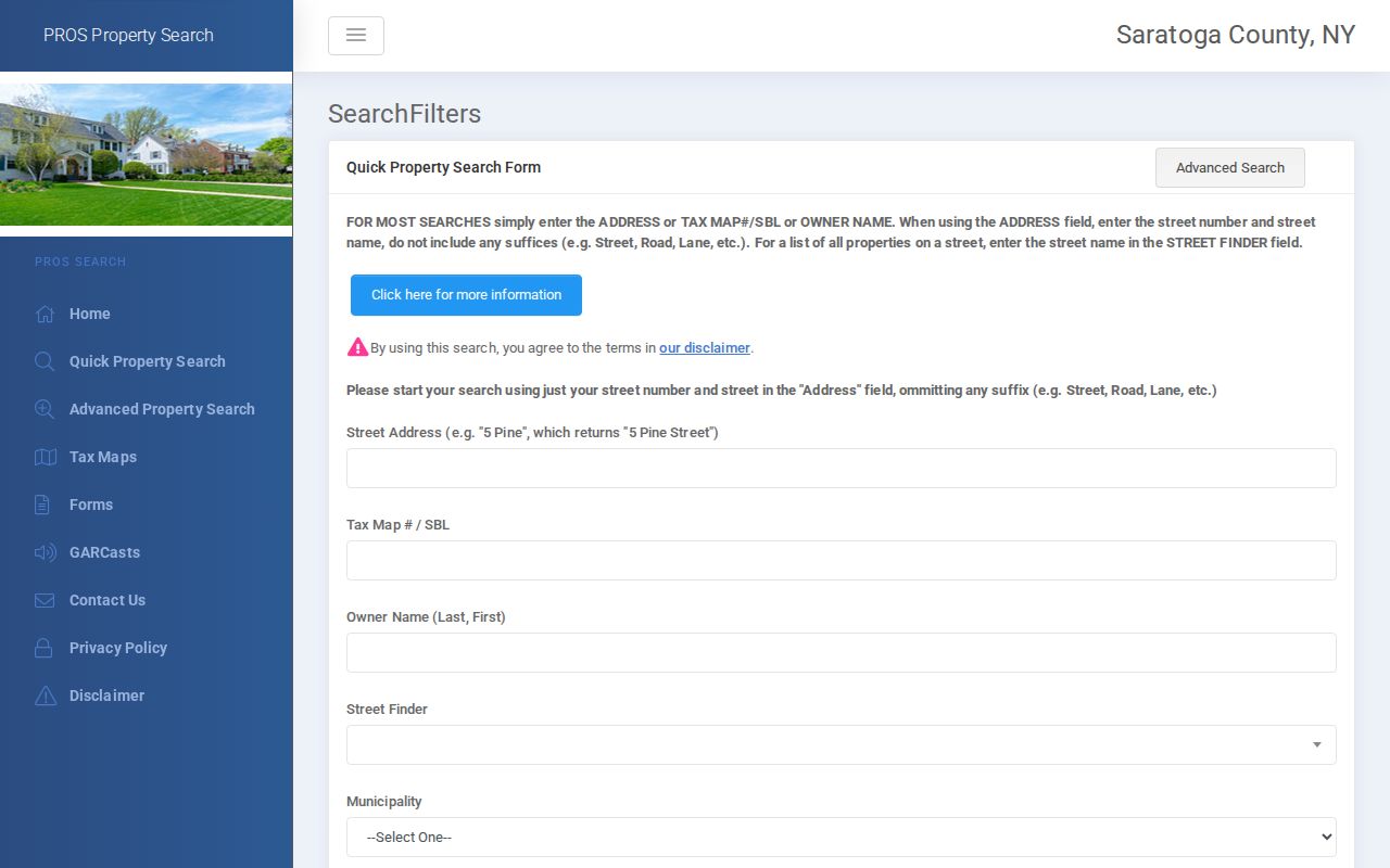
Use the form to save a stable SBL before comparing any older address-based record.
Saratoga Springs Street GIS Layers
The Saratoga County Map Viewer adds the geographic half of a by-address search. Its Map Panel can search an address, and its Search tab offers Parcel Search, Data Query, and Map Selection. Parcel attributes can include owner, address, and parcel ID. Partial strings can be used, with a choice of all municipalities, selected municipalities, or the viewable area.
Map Contents exposes the basemap, layers, legend, export, and print tools. Annual parcel layers run from 2010 through 2026. That makes the viewer useful for comparing assessment-era geometry, streets, boundaries, and nearby parcels, although a polygon is not title evidence and tax or aerial layers may only display at a close enough scale.
The county GIS viewer shows the parcel and layer controls used for a Saratoga Springs by-address check.
Record the selected layer year with the SBL so a later reader can tell whether the view represents current or earlier parcel geometry.
Note: A saved map should retain its parcel-layer year because boundaries and mapped attributes can differ across the annual county layers.
Deeds Along a Saratoga Springs Street
Once an address is tied to an SBL and deed reference, land records supply a longer property trail. The Saratoga County Clerk keeps deeds, mortgages, satisfactions, judgments, liens, and related land records, with holdings described as reaching back to 1791. SearchIQS is the online entry route, but the County Clerk also provides public computers and in-person research at 40 McMaster Street in Ballston Spa. Online account creation may be required; the current image and subscription price matrix was not verified in the research.
Search first for the present buyer as grantee, then examine that deed for a prior instrument and legal description. Search the seller as grantee to find the earlier acquisition, and repeat backward. Book, page, document reference, lot description, and municipality are more durable connectors than an address alone when a number or street label changes. A recorded deed shows a transaction or title interest, not daily occupancy.
- Parcel
- A defined piece of land in the assessment and map system, commonly tracked with an SBL or tax-map number.
- Situs address
- The physical property location. It can differ from the address where the tax bill is mailed.
- Plat or assessment map
- A map that gives lot and street context. County tax maps are assessment aids, not legal surveys.
- Criss-cross directory
- A directory arrangement that may organize entries by street or address rather than only by name. Saratoga Springs has a historical street-section lead, but no continuous standalone run was verified.
For clerk copies, research, and the current counter schedule, use the Saratoga County Clerk records office. Ordinary searches are described as free, while copy and certification charges follow the county fee schedule.
Note: Match a deed's legal description to the parcel before treating a familiar name or similar street number as the same property.
Saratoga Springs Street Record Coverage
No single Saratoga Springs source identifies every person connected to a road. Each address-keyed record answers a narrower question. The table separates ownership, parcel context, historical households, and historic tax or map material so the labels do not blur together.
| Address record | Years or scope | What it can show | Access channel |
|---|---|---|---|
| PROS assessment search | Current countywide property inventory | Owner of record, mailing address, property location, SBL, assessment, deed reference | Online portal, city assessor, county offices |
| County GIS parcel layers | Annual layers, 2010–2026 | Parcel geometry, roads, boundaries, owner/address attributes | Online viewer |
| County Clerk land records | 1791 onward | Deeds, mortgages, liens, names, instruments, and legal descriptions | SearchIQS and public counter |
| City directories | 1872–1944 and 1946 | Dated resident, business, or address trail depending on the edition | NY State Library microfilm, on-site |
| Village assessment and tax books | 1866–1915, with 1870 and 1880 gaps | Taxpayers, amounts, and property chronology | City Historian inspection |
| Historic maps | About 1773–1991 | Street layout, lots, development, and landmarks | City Historian contact and inspection |
The County Historian's voter lists cover 1912–1975 for historical inspection. Modern voter access has separate state rules, and current voter results should not be used as a general street list.
Saratoga Springs Voter Address Layer
Voter information is a separate, limited layer in a Saratoga Springs by-address search. The New York voter-registration search is designed to check a registered person's current status. Its visible fields include county, last name, first name, date of birth, ZIP, and address information. It does not provide a browse-by-street list. Use it only when the required inputs and a lawful purpose are already in hand.
For an older address question, the County Historian's voter lists cover 1912–1975 and are an inspection resource. Modern registration files follow Election Law access rules: sensitive identifying fields are not released, and broader statewide file requests require the required election-purpose statement. A voter result should be compared with the parcel and directory dates, never treated as ownership proof.
The New York voter registration search is the official current-status route.
Saratoga Springs Address Labels Matter
Four address labels can appear in the same search: the parcel's situs, the tax owner's mailing destination, an address printed in a directory, and a voter residence or post-office field. A fifth, the deed legal description, may identify a lot, block, metes and bounds, earlier instrument, and municipality. They are related, but they are not interchangeable.
For a current parcel, retain the property location and SBL exactly as PROS displays them. For a historical hit, retain the directory spelling and year. A change from town or village records to city records around 1915 can alter the governmental label for the same place. The municipal boundary and postal city should also be recorded separately when they differ.
Note: An owner, a taxpayer, a directory occupant, and a registered voter can be different people connected to the same Saratoga Springs address.
Historic Saratoga Springs Street Context
Historic maps are the geographic interest layer for an older house-history trail. The City Historian's collection has roughly 900 maps spanning about 1773 to 1991. The 1894 Cramer/Eldridge assessor maps and the Samuel Mott map revised in 1915 can help translate a lot or street reference found in tax books, deeds, or directories. They give context for street layout and property development, but they do not replace a survey.
The city archive also points to Sanborn material, including an 1895 Saratoga item and later 1900, 1932, and 1950 map references. A Sanborn sheet can help date a building footprint, use, block, hydrant, or number where covered. It cannot establish title or show every occupant. The City Historical Map Collection is the request point for local map research.
Note: Retain each map's year and title because a historic street layout is context, not a replacement for a current parcel record.
Saratoga Springs Street Research Fallbacks
When a web search is incomplete, use the custodian that holds the series. The City Assessor keeps Saratoga Springs assessment records at 474 Broadway, Suite 14, and the County Clerk's land-record counter is in Ballston Spa.
The City Historian is the route for older municipal books and maps. The Saratoga Room at the public library holds local primary sources, newspapers, maps, manuscripts, and digital-history links. These channels matter because no public citywide permit or resident-name database was verified.
A reasonably described county record that is not posted can be requested through the county's written FOIL process. The county says it will provide access, deny, or acknowledge a request within five business days; inspection is by appointment and standard copies are normally $0.25 per page. FOIL does not override records that are sealed or protected by a specific rule.
The Saratoga County FOIL request page shows the written request routes and response information.
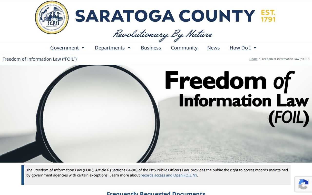
Use the request process for a defined record series, not as a substitute for a parcel, deed, map, or library search that is already available.
Limits of a Saratoga Springs Street Directory
A street directory can connect a location to dated public records, but it cannot prove a complete present household. County property data can identify an owner or mailing address; it does not establish occupancy. Directory lines may describe a residence, boarding place, business, or telephone subscriber. Current voter information is subject to state access rules, and some registrations and address records can be confidential. Utility customer records and protected DMV data are not an open street directory.
Use the smallest record set that answers the question, preserve source dates, and verify an important finding with the custodian before relying on it.