
Saratoga Springs Address Sources by Era
Past households are best traced by choosing the record that matches the time period. Saratoga County land and court records begin in 1791, while the City Historian, County Historian, State Library, public library, and museum each preserve a different part of later address history. A source may identify a property owner, a taxpayer, a directory household, or a building. It should not be made to prove more than its own fields support.
| Local source | Years it covers | Where held | What it can show |
|---|---|---|---|
| County Clerk land records | 1791 onward | SearchIQS and County Clerk counter | Deeds, mortgages, liens, parties, and legal descriptions |
| Greenridge Cemetery Book | 1843–1847 | City Historian archives | Lot sales and burial-right resolutions |
| Village accounts and chattel mortgages | 1849–1915 | City Historian inspection | Property, payments, and mortgagor or mortgagee context |
| Census holdings | 1855 onward | County Historian microfilm | Household, age, birthplace, and other schedule fields |
| Assessment and tax books | 1866–1915, except 1870 and 1880 gaps | City Historian inspection | Taxpayers, amounts, and lot history |
| City directories | 1872–1944 and 1946 | NY State Library microfilm | Annual name, address, or business trail by edition |
| GIS parcel layers | 2010–2026 | County Map Viewer | Annual parcel geometry and mapped attributes |
The table is an era guide, not a promise of one continuous list. Tax-sale books cover 1880–1915, historical voter lists run from 1912 to 1975, and city records begin in 1915, but every series has its own scope and access channel.
Saratoga Springs Address SBL Start
For a house-history trail, begin with the present parcel rather than a modern street number. The SBL, also called a tax-map or section-block-lot value, gives a stable bridge between assessment information and the deed chain. Search the county PROS system for the current address, then record the SBL, property location, owner of record, deed book or page, and assessment year. The County Map Viewer can confirm the parcel polygon, municipality, and selected annual layer.
A current owner or tax mailing address is not proof that the person occupied the home. Treat it as the starting point for a title search. If the property is held by a trust, estate, or organization, the next deed and legal description matter even more. The modern owner field should not be used to fill a gap in the historical household trail.
Note: Keep the current property location, owner mailing destination, and historic printed address as separate fields in your notes.
Saratoga County Deed Chain Backward
The deed chain is the core record trail for prior owners of a Saratoga Springs parcel. County Clerk land holdings reach back to 1791. SearchIQS is the online entry point, and the clerk supplies public computers plus in-person research in Ballston Spa. An online account route is described by the portal, but its current image-access price details were not verified in the research. The counter remains the right fallback when an older instrument or image cannot be reached online.
- Use the current PROS parcel to collect the SBL, deed reference, owner name, and legal description.
- Find the present owner's acquisition deed as a grantee search in the County Clerk index. Save the recording information and prior-instrument reference.
- Search the seller from that deed as a grantee to locate the seller's earlier purchase. Check the legal description before deciding the parcels match.
- Repeat backward through grantee and grantor entries. Use book, page, and document references when name spellings or street numbers differ.
- For older gaps, consult the clerk counter, City Historian tax-sale and chattel-mortgage material, then maps that translate older lot and street references.
- Grantor
- The party conveying an interest in a deed, often the seller in a property transfer.
- Grantee
- The party receiving an interest in a deed, often the buyer. A past seller's grantee entry can reveal an earlier acquisition.
- Chain of title
- The sequence of recorded transfers and related instruments used to track title interests in one parcel.
- Legal description
- The lot, block, metes and bounds, prior instrument, or municipality description that ties older records to the property more reliably than a changing street number.
Use the Saratoga County Clerk records office for land-record access, counter research, and current copy information.
Note: A prior deed reference is a lead, so compare its legal description with the parcel before adding it to the chain.
Saratoga Springs Previous Owners
Past household names and prior owners can be the same person, but often are not. A deed records a title transaction. PROS can show an owner of record, an owner mailing address, and a physical property location. A city directory may name a person at a residence, boarding place, business, or telephone address. Census schedules describe a household at the time of enumeration. Each layer must be dated and compared before it becomes an address history conclusion.
A useful check is simple: place the directory or census year beside the nearest deed transfer. If ownership changed but a directory occupant did not, retain both identities rather than forcing a match. Conversely, a directory omission can reflect a missing volume, non-inclusion, a temporary absence, a renamed street, or a move. The full current address workflow belongs on the Saratoga Springs street directory.
Saratoga Springs Village Tax Years
Before city formation in 1915, the same place can appear under town or village records. Village assessment and tax material runs from 1866 through 1915, but the archive guide identifies missing 1870 and 1880 tax records. The older books are still valuable for taxpayers, amounts, and property chronology. They should not be mistaken for an uninterrupted list of everyone who lived at an address.
Other narrow series can preserve a useful link when a normal directory is absent. The Receiver of Taxes and Assessments accounts run from 1866 to 1906; chattel mortgages cover 1849–1915; tax-sale books cover overlapping runs from 1880 to 1915. The dog register for 1911–1913 names an owner, address, breed or color, and fee. Those records can supply a date anchor, but they do not replace a deed or a household source. The City Historian collection is the inspection route.
Note: The missing 1870 and 1880 tax years should remain a documented gap rather than a reason to infer a missing household.
Maps Translate Saratoga Springs Addresses
Maps make the geography of a past-resident search readable. The City Historian holds roughly 900 maps dating about 1773–1991, including 1894 Cramer/Eldridge assessor maps and the Samuel Mott map revised in 1915. Compare the legal lot or historic street reference with a current parcel, and record the map year. Maps provide street, lot, boundary, and development context; they are not surveys and do not establish title.
The Saratoga Room local-history collection supplies maps, newspapers, manuscripts, photos, digital exhibits, and staff help for a Saratoga Springs address-history search.
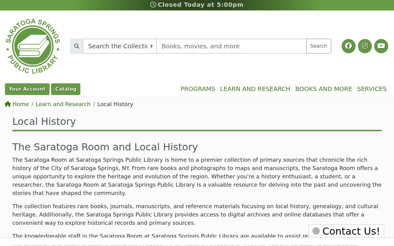
Use the library collection to test an address trail with dated local sources rather than assuming an old street label still matches a current map.
Sanborn material is a second map layer. The Library of Congress 1895 Saratoga map record has 30 sheets, while local source lists refer to 1900, 1932, and 1950 insurance maps. Where a sheet covers the property, it can help identify a footprint, use, number, water feature, or block. It cannot show ownership or every person who lived there.
Saratoga Springs Previous Residents in Directories
For the household layer, work forward and backward around the parcel's transfer years. The New York State Library lists Saratoga Springs city directories on on-site microfilm for 1872–1944 and 1946. It also lists telephone books for 1922, 1940–1942, 1945–1947, and 1949–1950. The microfilm is non-circulating in the library's seventh-floor Microforms Area. A directory edition may have a name, business, telephone, or street section, so read the volume's own arrangement before drawing a conclusion.
- Choose a directory year near a recorded deed transfer and search the name section first.
- Check a street, occupant, or telephone section if that edition contains one. No continuous standalone reverse-directory run was verified.
- Record the printed spelling, initials, address, section, and edition year without modernizing them.
- Compare adjacent directory years, then pair the period with the relevant federal or New York State census microfilm at the County Historian.
- Use Saratogian and other local newspaper runs for obituaries, property notices, business notices, and events that test the timeline.
The New York State Library directory table identifies the confirmed Saratoga Springs microfilm run.
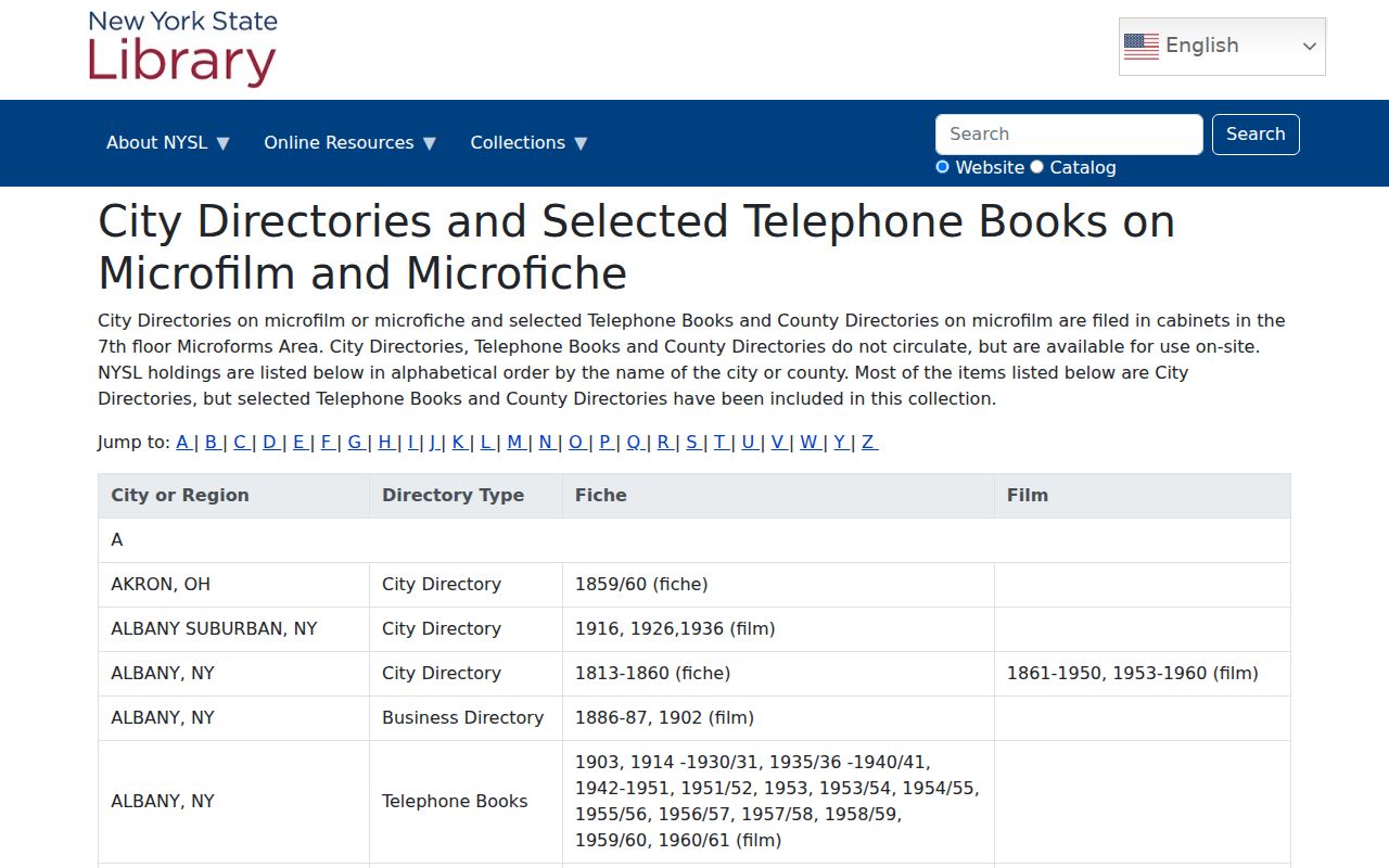
The date range is a starting shelf location, not proof that each directory includes every household or prints the same fields.
Note: A directory entry needs a second dated source when it is used to connect a person to a Saratoga Springs address.
Images Around Saratoga Springs Addresses
A historic photograph can test physical continuity when the documentary trail is thin. The Saratoga Springs History Museum's Bolster archive includes homes, businesses, streets, people, and aerial images, with Old Saratoga material mainly from 1900 to 1960 and aerial photographs as early as 1929. Date an image and note its source before using it alongside a deed or directory. A building image can support a street-history question, but it does not prove title or occupancy.
The Bolster collection provides the museum's archive and researcher-access details.
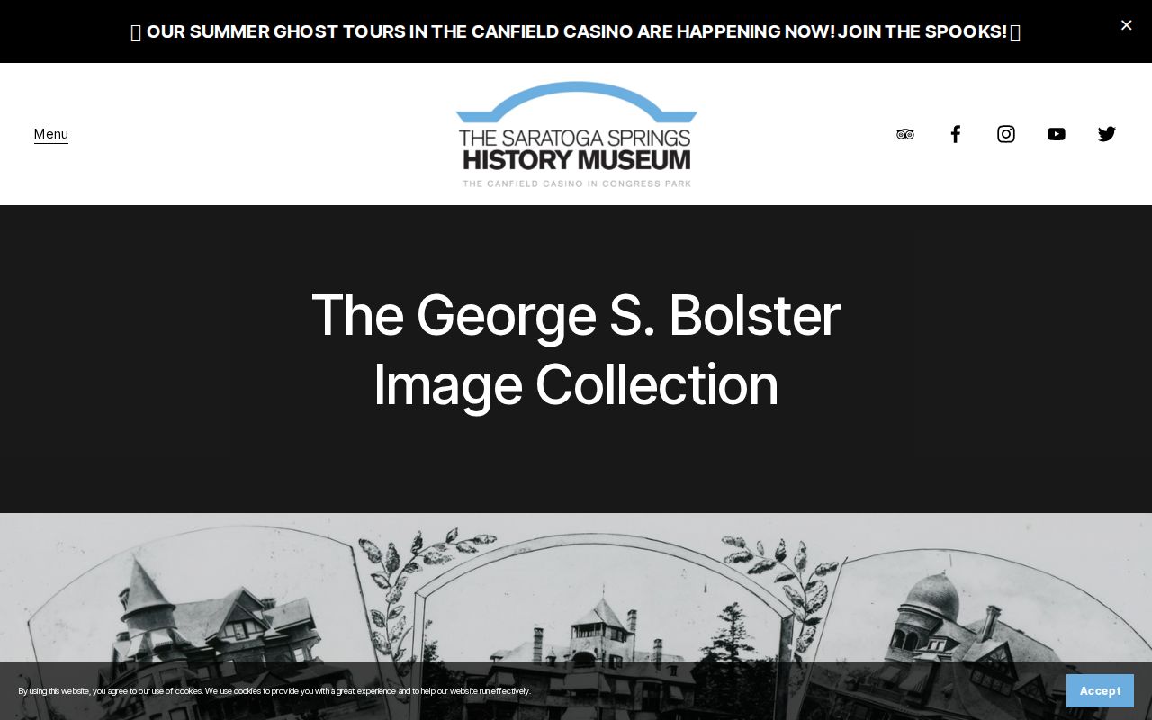
Researcher hours are Monday, Tuesday, and Friday from 10 to 3 by appointment, and reproduction permission applies to collection images.
Gaps in Saratoga Springs Previous Residents
Gaps should be documented rather than guessed. The village tax material omits 1870 and 1880, older day books have additional missing volumes, and the 1890 federal census has well-known national survival gaps. A name disappearing from a directory can reflect a missing year, a change in inclusion rules, a street renumbering, or a move. The research found no verified courthouse fire that destroyed a major local run.
Check deeds, maps, directories, census schedules, newspapers, cemetery records, and the City or County Historian in combination. An unresolved interval is an honest result when none of those sources identifies the household with enough support.