
Saratoga Springs Neighbors by Block Source
Local block research works best when each source keeps its own role. GIS shows the spatial setting. PROS supplies assessment and property-card fields for a selected parcel. The County Clerk's land index can follow a recorded-document trail, and historian collections provide dated context. None of those sources creates a complete current household list. The table separates the records that can help place Saratoga Springs neighbors from the conclusions those records cannot safely support.
| Source | What It Shows About a Block | Access |
|---|---|---|
| Saratoga County Map Viewer | Parcel polygons, SBLs, roads, municipality, and annual parcel-layer context | Online map viewer |
| Saratoga County PROS | Selected parcel's assessment, property, owner, and mailing fields | Online property search, one parcel at a time |
| County Clerk land records | Recorded deed, mortgage, lien, judgment, and book/page trail | SearchIQS entry point and public computers in person |
| City historic maps | Street, lot, development, and historic-label context | City Historian inspection resources |
| County Historian voter lists | Historical registration context for 1912–1975 where a list permits inspection | Historian inspection, with modern voter rules separate |
A record can name an owner, a tax mailing destination, a parcel, or a historical directory occupant. Those labels should stay separate. A parcel owner may be a trust, business, estate, or absentee owner. A historical entry may describe an earlier household. Spatial neighbors are the parcels next to the chosen parcel, not a claim about a present personal relationship.
Saratoga Springs Neighbor Parcels
An adjacent parcel shares a spatial edge or sits immediately beside the selected polygon in the map view. That ordinary map meaning needs care in Saratoga Springs. Corner parcels may touch only at a point. An alley, road, water feature, or municipal boundary can separate properties that look close on screen. Condominium and larger complex parcel structures may also make the visible relationship different from a mailing-address relationship.
Use the map's roads, parcel edges, and municipality layers before recording any SBL. If a connection is ambiguous, describe it as a map relationship rather than a neighbor fact. The county's annual layers help show assessment-era geometry, but a polygon is not title proof and should not replace a deed or legal description.
Note: The closest-looking parcel on a map may be separated by a road, water, a corner point, or a different municipality.
Saratoga Springs Neighbor Block Map
The Saratoga County Map Viewer has address search, parcel search, data query, map selection, layer controls, export, and print tools. Search an address or parcel identifier, then use the selected polygon as the center of a small, documented block review. This method moves outward in a fixed order and avoids presenting a broad or scraped people list.
- Find the street address in the county map viewer and select its parcel polygon.
- Record the chosen parcel's SBL, roads, municipality, and displayed parcel-layer year.
- Click each immediately adjacent polygon and record each SBL separately, including any visual boundary that makes adjacency uncertain.
- Take one SBL at a time to PROS for the property location, owner field, and mailing field.
- Use the County Clerk land index only when a recorded-document trail is needed, checking legal descriptions and book/page references.
The county GIS parcel viewer shows the polygon, road, and layer context that anchors the process.
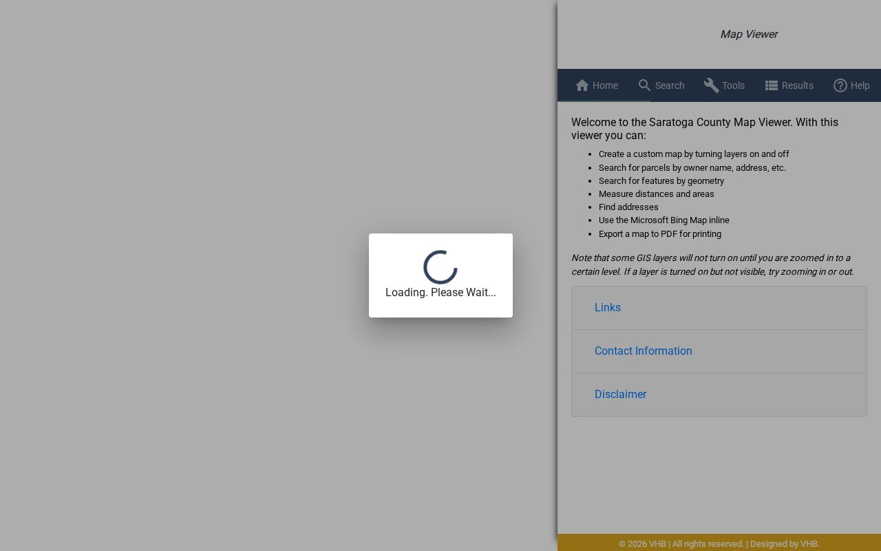
Keep the SBL with the map date so a later search can reproduce the parcel selection. For a whole named street rather than its immediate block, use the Saratoga Springs street directory.
Saratoga Springs Neighbor Record Labels
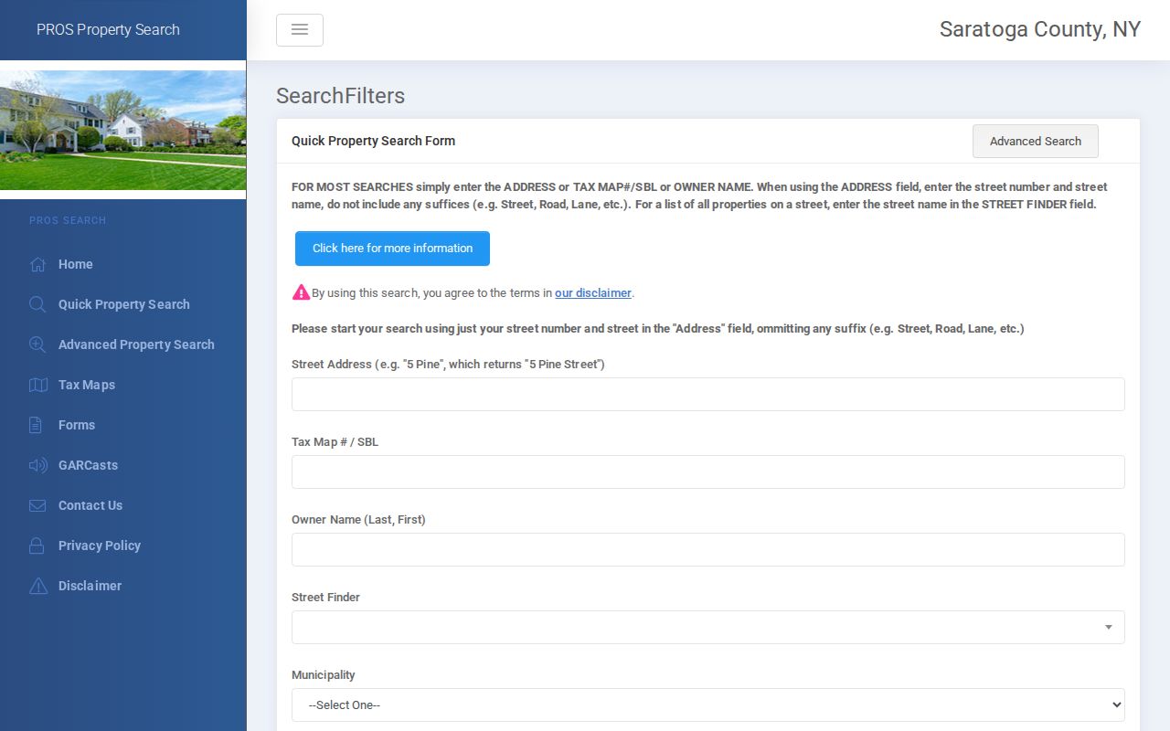
The Saratoga County PROS search accepts Street Address, Tax Map # / SBL, Owner Name, Street Finder, Municipality, and Advanced Search. It is designed for county assessment information, property inventory, and comparable sales. It does not make an owner mailing address a residence claim. Start from the selected SBL and preserve the portal's field label when taking notes.
The PROS parcel search supplies the address, SBL, owner, street, and municipality inputs used for a parcel-level check.
A situs address is the parcel's physical location. An owner mailing address is where assessment communication is sent and may be a post-office box or an address elsewhere. A city-directory address can be historical, residential, business, or subscriber context. Calling all three a resident address erases facts the source actually distinguishes.
If a recorded trail matters, Saratoga County SearchIQS and the County Clerk provide the deed, mortgage, lien, judgment, and recording-reference path. Land records date from 1791, with online and in-person research routes. Follow grantor, grantee, legal description, and prior-instrument references, rather than assuming a modern map label proves title.
Saratoga Springs Neighbor Parcel Layers
The county's ArcGIS service offers parcel layers for 2010 through 2026, along with city, town, village, school, emergency-service, fire, street, election-district, and poll-site layers. An annual layer can help identify when parcel geometry or an attribute presentation changed. It does not establish ownership, an occupancy date, or a precise legal survey boundary.
For a historical block, compare a current layer with the relevant older layer, then check city historical maps and recorded legal descriptions. That combination is useful around streets where property lines, municipal labels, or development patterns changed. Record the layer year with every observation, since schemas and displayed attributes can vary between annual versions.
Saratoga Springs Historic District Geography
Official historic districts are the strongest public neighborhood layer found for Saratoga Springs. The city identifies Race Course, Union Avenue, East Side, Congress Park, Hillside, Broadway, North Broadway, and Franklin Square. The same local geography includes landmark context such as Bryan House, Drink Hall, Canfield Casino, City Hall, Congress Park, High Rock Park, Central Fire Station, Gideon Putnam Cemetery, and Smiley-Brackett Cottage.
The city's Historic Districts resource gives the verified planning and landmark context for a selected block.
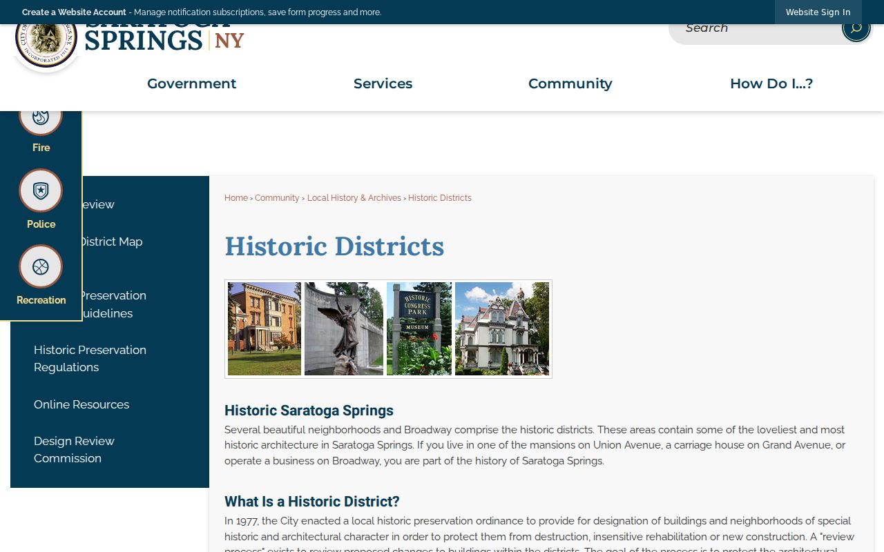
These district names are planning and historic-review vocabulary. They are not automatic ZIP boundaries, census areas, or evidence that a particular person lives on a block. Used carefully, they make an older map, directory street section, or landmark description easier to interpret.
Saratoga Springs Neighbor Context
There is no official citywide directory of neighborhood associations or a public house-by-household block directory in the reviewed sources. Public organization pages can still provide limited context for a community. The research located two association routes, but their public information should remain organizational. Do not copy personal membership details into block notes.
Summer Wind HOA
Summer Wind's public site offers declarations, bylaws, organizational contacts, committee material, and meeting minutes through 2026. Use it for its published association context only.
Water's Edge / Woodlands
Water's Edge/Woodlands provides a public community contact, announcement, and amenity route for its Saratoga Springs location. It is not a citywide association index.
A dated Walworth Street Neighborhood Advisory Council document describes a 250-foot advisory radius from 14 Walworth Avenue and participants from the neighborhood, police, community-service representatives, and city staff. Treat that as historical civic context rather than a standing rule for all Saratoga Springs neighbors.
Saratoga Springs Neighbor Source Comparison
Official parcel and records sources are tied to named custodians and defined fields. Commercial neighbor tools may combine data from different dates and sources. The comparison below stays at the category level because a reliable block method should make the source and its limit visible instead of treating a compiled result as proof.
| Question | Official parcel and records sources | Commercial neighbor tools |
|---|---|---|
| Source trail | Agency, collection, field, and date can be recorded. | Underlying source and refresh date may be unclear. |
| What a result labels | Parcel, owner, mailing field, document, or map feature has a defined role. | Categories may be merged or described without the original record context. |
| Best use | Verify one specific property or historic record through the custodian. | Use only as a prompt to verify with an official source. |
The County Clerk, City Historian, County Historian, Saratoga Room, and Board of Elections each preserve different material. A search that needs a record not posted online can move to a public terminal, inspection request, written FOIL route where applicable, or the relevant archive rather than assuming an online result is complete.
Saratoga Springs Neighbor History
The GIS service can show election districts and poll sites, but it does not publish individual voter names through those layers. New York's individual voter tool is for checking a registered person's status. It should not be turned into a block list. For historical work, the County Historian lists voter materials from 1912 through 1975 for inspection, a different route from modern voter-data access.
The County Historian also identifies census microfilm, maps, cemetery tables, tax resources, and surname files. City archive tax materials cover 1866 through 1915, with known tax-record gaps in 1870 and 1880. Those gaps are a reason to cross-check a deed, directory, census, newspaper, or map, not evidence that nothing happened on a block.
Election Law §3-220 addresses public inspection and non-release rules for registration records, while §3-103 limits statewide file use to election purposes. Use election geography for civic location and the appropriate official request channel for records access.
Privacy Limits for Saratoga Springs Neighbors
Current address research should publish the method, agency route, field names, dates, and source limits, not a copied list of private people. New York's Address Confidentiality Program can provide a substitute address for qualifying participants. Confidential voter registration and other custodian-specific restrictions also apply. The County Clerk, Board of Elections, courts, vital registrar, and program offices do not share one universal redaction process.
Lawful use. Use Saratoga Springs neighbor research for personal, civic, historical, or property curiosity. Do not use it to stalk, harass, intimidate, or harm anyone, and ask the relevant custodian about a safety exception or redaction route when needed.
An owner, mailing address, adjacent parcel, and resident are different labels. Keeping them apart protects both the record's meaning and the people behind it.
Note: When a safety exception may apply, contact the individual custodian for its current exemption or redaction instructions.